April 2026 Avalanche Summary – Colorado
After the record-setting March meltdown, April returned to a more typical spring pattern: a consolidated snowpack, brief storm-driven increases in avalanche danger, and warm, sunny periods that produced quick cycles of Loose Wet avalanches. Storms during the first week of April had the biggest impact in the Central and Southern Mountains, briefly pushing conditions back toward winter with shallow dry slab avalanches and wind loading. Between storms, overnight freezes, and warm afternoons brought the danger back to LOW across much of the state before the pattern repeated.

Statewide Avalanche Activity (April 2026)
- 387 avalanches recorded across the state
- 37 avalanches size D2
- 69 avalanches size D1.5
- 279 avalanches size D1
- 122 human-triggered avalanches
- 10 people caught, 1 buried, 0 injuries
Early April
Storms from April 1–3 produced one of the largest snowfall events of the season in parts of the state, with more than a foot of dense snow in the Park Range, Elk Mountains and much of the Southern Mountains. Avalanche danger rose to CONSIDERABLE, and activity consisted of small Wind Slab, Storm Slab and Loose Dry avalanches within the new snow. A few D2 avalanches were reported in the Central Mountains and near Red Mountain Pass. As skies cleared, rapid warming led to a brief natural Loose Wet avalanche cycle on steep slopes.
Mid-April
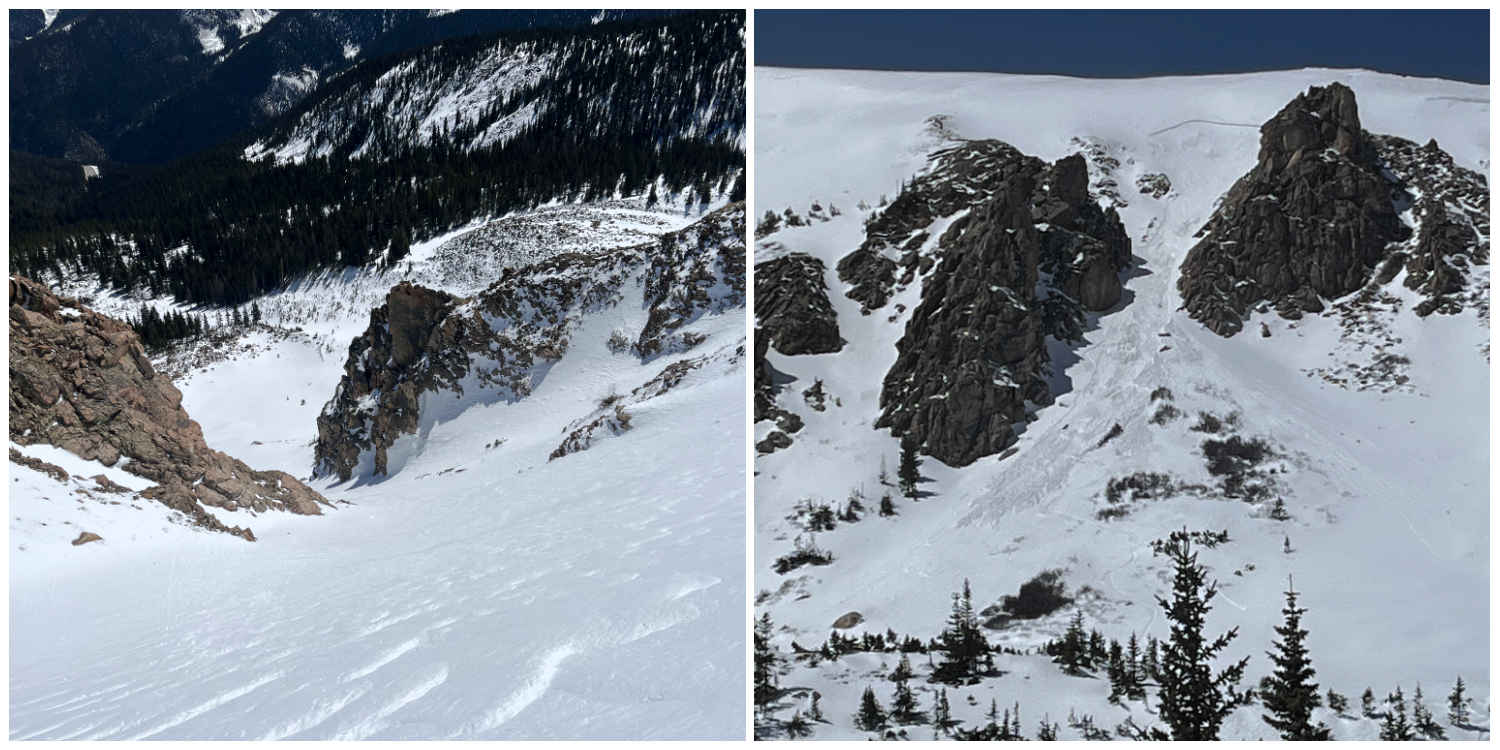
Dry weather returned after April 3 and persisted through mid-month, with LOW (1 of 5) avalanche danger statewide. Activity was limited but included human-triggered Wind Slab avalanches in steep alpine terrain, including incidents near Guanella Pass and Berthoud Pass, where a rider was carried approximately 300 vertical feet down a couloir.
A storm cycle from April 14–17 brought 3 to 12 inches of new snow, with locally higher totals in the Central and Southern Mountains. Avalanche danger increased to MODERATE (2 of 5) above treeline, with new and wind-drifted snow producing small slab avalanches. Skiers triggered several small avalanches during this period. As the storm snow warmed, activity shifted quickly back to Loose Wet avalanches, especially on sun-exposed slopes.
Late April
From April 21–24, stable spring conditions returned, with LOW danger statewide, strong overnight refreezes, and generally safe avalanche conditions. Avalanche activity was limited during this period.
A stronger storm from April 25–28 brought a return to winter conditions. The Elk Mountains, Park Range and San Juan Mountains received 1 to 2 feet of snow with minimal drifting during the storm. Avalanche danger rose to MODERATE in areas with modest wind-loading. Only four, small soft-slab avalanches were reported statewide, including three in the Elk Mountains and one in the northern San Juan Mountains.
As skies cleared late in the month, the pattern shifted quickly back to spring. Wet avalanche activity became the primary concern as the new snow warmed, with additional small storms at the end of April continuing the cycle of brief snowfall followed by rapid melt.
Overall, April was defined by a shallow spring snowpack and short-lived storm cycles. Most avalanches were small, but frequent human-triggered incidents and terrain-driven consequences remained a consistent theme throughout the month.


