Avalanche Weekly Summary - November 22, 2024
Northern Mountains
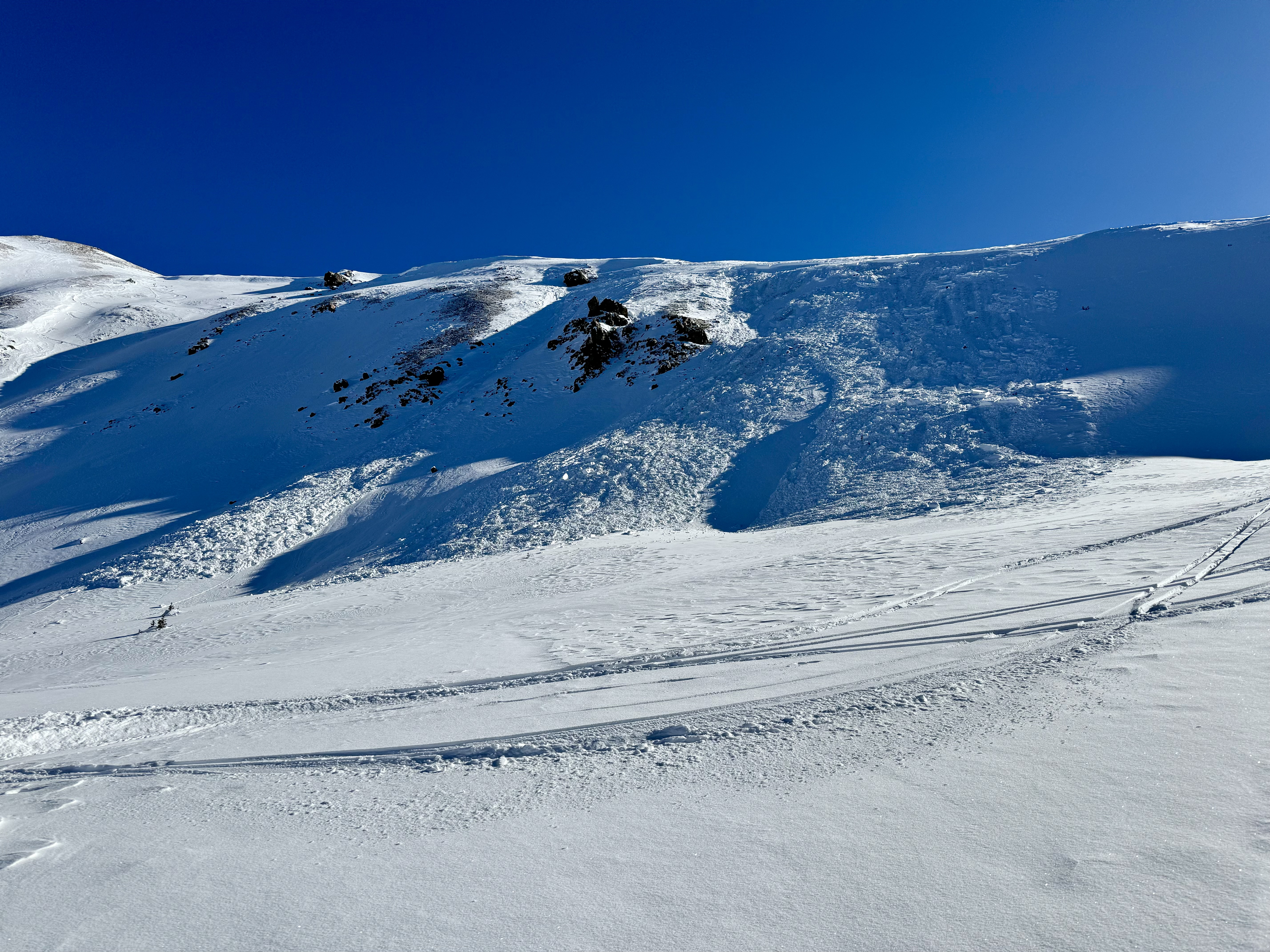
A storm on Monday night through Tuesday brought 2 to 8 inches of snow to the region, accompanied by strong westerly winds that redistributed the new snow into thicker slabs and buried a weak snow surface that will pose problems during the next storm. Avalanche activity was limited last week but included a large Wind Slab avalanche on a north-facing slope in Rocky Mountain National Park and another that broke near the ground at South Diamond in Cameron Pass.

Central Mountains
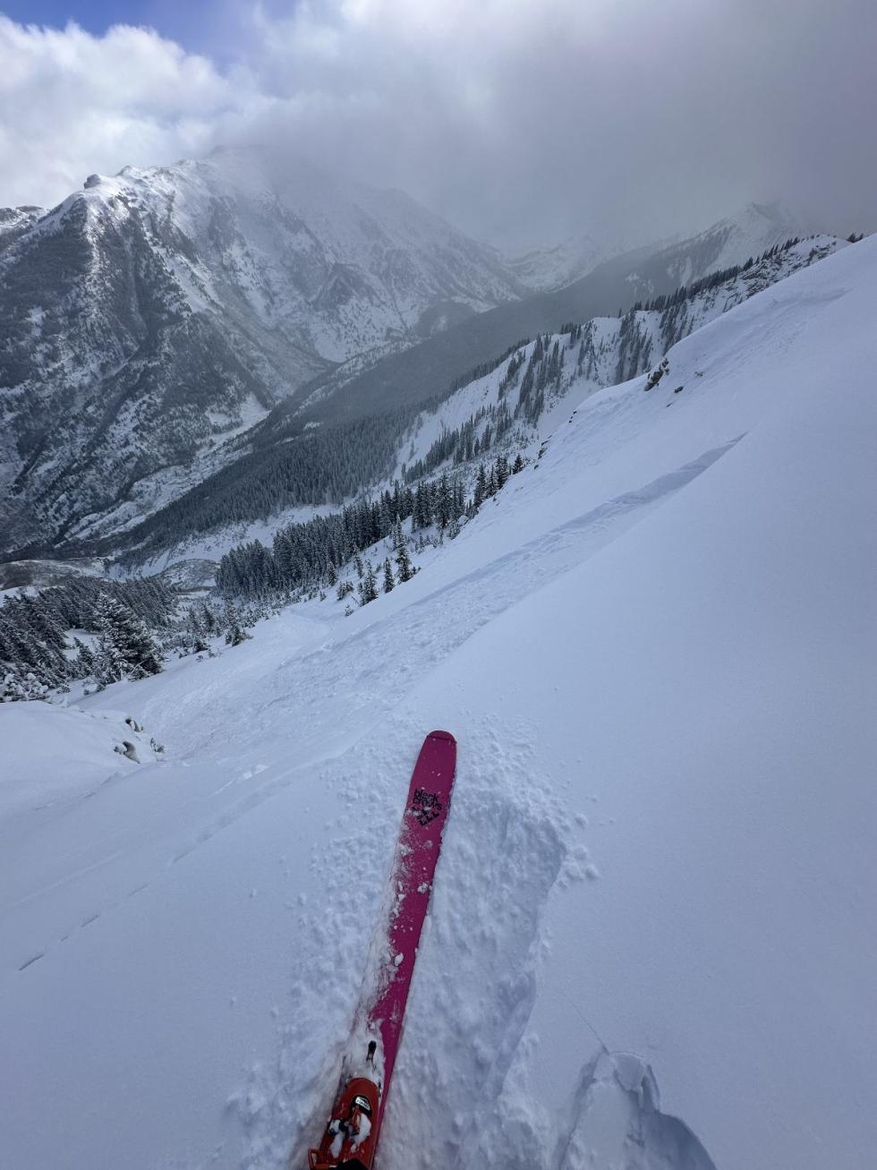
The western Central Mountains received 6 to 8 inches of snow, while other areas saw 2 to 4 inches. Winds on Tuesday created fresh wind slabs and buried a weak snow surface, setting up a persistent weak layer for future storms. A handful of small Wind Slab avalanches ran on Tuesday through Wednesday morning, including the season’s first remotely triggered avalanche in this area. Avalanche activity ground to a halt on Wednesday afternoon and Thursday.
Southern Mountains
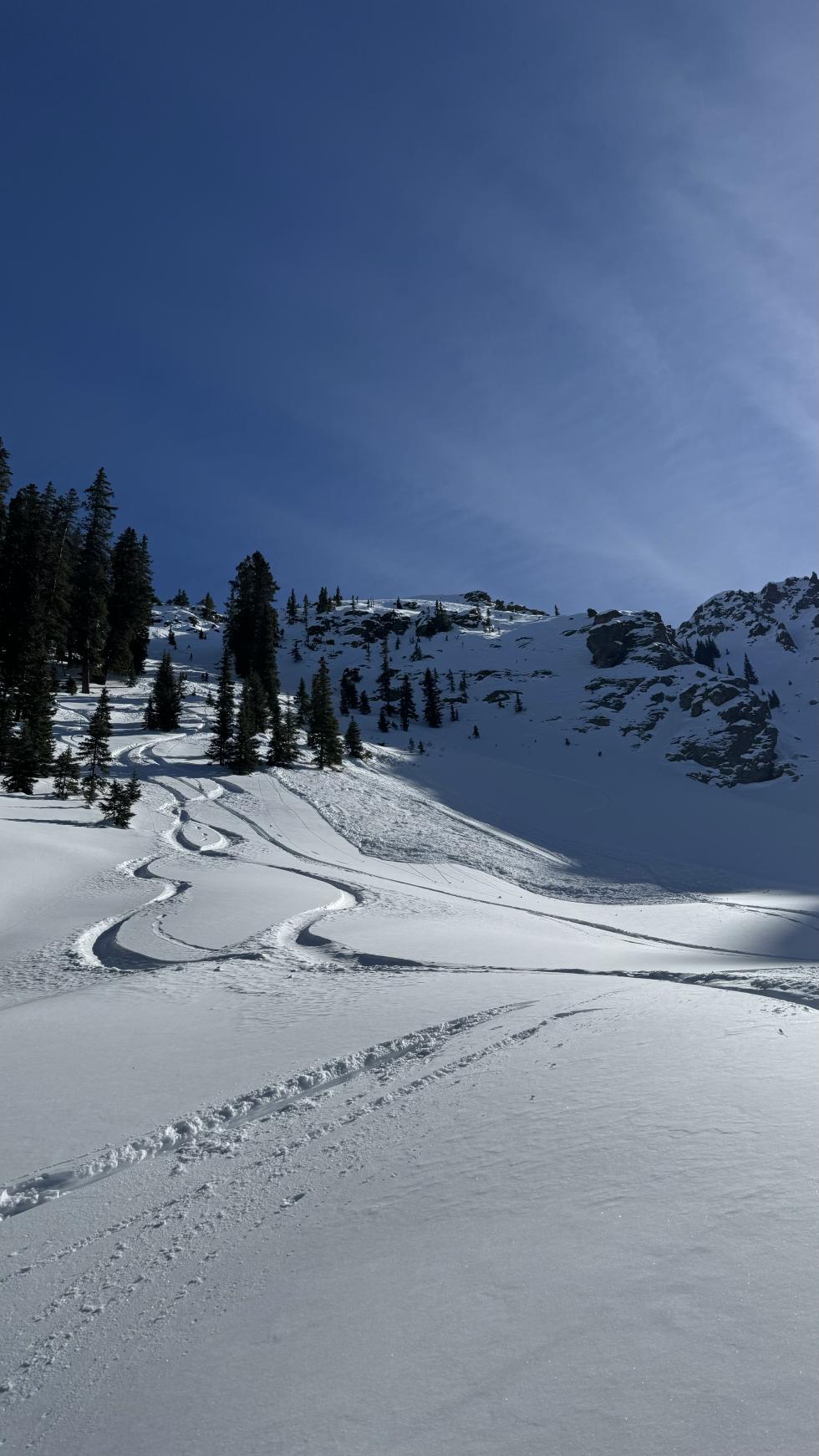
Red Mountain Pass saw the highest snowfall totals in the Southern Mountains, with 7 inches falling Monday night into Tuesday. Other areas received 1 to 3 inches. Winds redistributed snow into drifts and created thicker wind slabs. Avalanche activity was limited in the Southern Mountains last week, with only a few small Wind Slab avalanches reported. Later in the week, some Loose Dry avalanche activity highlighted the weak snow surface.
Heading into the Weekend
The avalanche danger is LOW statewide heading into the weekend. You will find few slopes where you can trigger a dangerous avalanche. Warm temperatures, clear skies, and lower wind speeds helped to turn the recent Wind Slab avalanche problem dormant. Any remaining problem spots will be few and far between. For now, avoid steep slopes with wind-drifted snow, especially in gullies and along ridgelines.
The avalanche danger will rise starting Sunday or Monday as a new storm arrives. The weak snow surface forming across the state will become a persistent weak layer when buried by the new snow. As dense new snow accumulates Tuesday and beyond, we expect to see larger and more widespread avalanches. Stay informed with the latest avalanche forecast.


