February 2026 Avalanche Summary – Colorado
February 2026 brought the most dangerous avalanche conditions of the season to Colorado. Following a dry start to the month, repeated storms loaded a shallow, faceted snowpack that had been developing persistent weak layers since early winter. By mid- to late February, large natural avalanche cycles prompted Avalanche Warnings and Special Avalanche Advisories.
Avalanche activity increased during major storms from February 10–12 and February 18–24. Hundreds of avalanches were reported statewide, many large (D2) to very large (D3). Remote triggering was common, and avalanches frequently propagated across entire slopes. Despite widespread avalanche activity, February ended without a fatality in Colorado.
Statewide Avalanche Activity (February 2026)
- 1,044 avalanches recorded across the state
- 43 avalanches size D3
- 466 avalanches size D2 & D2.5
- 535 avalanches size D1 & D1.5
- 222 human-triggered avalanches
- 15 people caught, 9 buried, 2 injuries

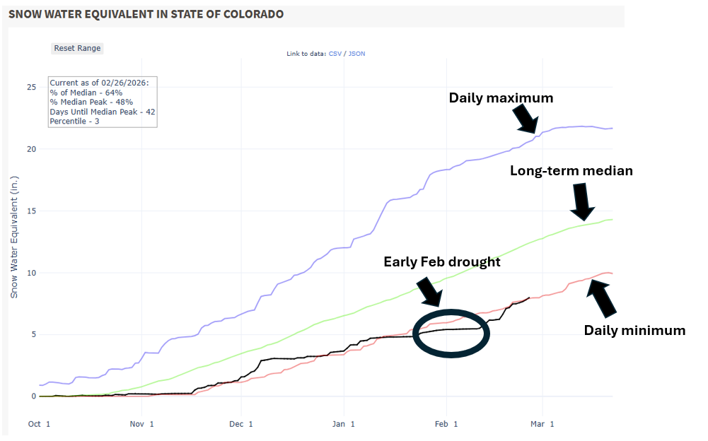
Early February: Warming, Loose Avalanches, and Lingering Persistent Slabs
The first week of February was generally warm and dry across much of the state. In the Northern Mountains, small storms and strong west winds kept wind-drifted snow as the primary concern. Human-triggered avalanches continued, particularly on wind-drifted terrain near ridgelines.
In the Central and Southern Mountains, loose wet avalanches became more common during periods of daytime warming, while loose dry avalanches were linked to the prolonged dry spell that led to facet sluffs. Persistent slab avalanches were becoming less likely in some areas, but remained possible near ridgelines and in thinner snowpack zones. While overall activity was modest, incidents highlighted dangerous slabs lurking beneath the surface.
Mid-February: Rapid Loading and Increasing Avalanche Activity
A significant shift began around February 10. The Northern Mountains received 1 to 2 feet of snow, while portions of the Central Mountains saw over a foot. In the Elk and Ragged Mountains, backcountry travelers reported sensitive conditions on northwest through east-facing slopes, with widespread remote triggering and D2 avalanches.
By February 17, another major storm was underway. Avalanche danger increased rapidly, and forecasters described the most hazardous avalanche conditions of the season to date. In the Southern Mountains, slab connectivity increased, and large (D2) avalanches became more common. Several skiers were caught, including one partially buried near Bear Creek and another injured near Bonita Peak.
Late February: Large Avalanche Cycles and Warnings
The period from February 18–24 marked the largest storm cycle of the season statewide. Avalanche Warnings were issued in both the Central and Southern Mountains, along with a Special Avalanche Advisory in the Northern Mountains following heavy snowfall and extreme winds.
The Central Mountains documented more than 350 avalanches during this cycle, with 257 large to very large (D2–D3). The Southern Mountains reported 107 avalanches, 69 of them size D2 or larger, with numerous remote triggers. In the Northern Mountains, 13 large avalanches were documented despite poor visibility, including remotely triggered slides on northeast through southeast aspects. Several natural avalanches reached roads near Crested Butte and in the Elk Mountains.
February 25–28: Warm Storms and Continued Avalanche Activity
A warm storm beginning on February 25 brought rain up to about 10,000 feet, with dense snow at higher elevations. In the Northern Mountains, strong winds and heavy snow built thick slabs and prompted a Special Avalanche Advisory on February 27–28, with significant avalanche activity continuing through February 28.
In the Central Mountains, warm temperatures and rain shifted avalanche activity toward wet avalanches, with rain crusts forming as high as 12,000 feet in parts of the Elk and West Elk Mountains. About 50 avalanches were reported during this period, most of them wet slabs.
Despite widespread avalanche activity and multiple large cycles, February ended without an avalanche fatality, an important outcome during a month that often produces the season’s most serious incidents.


