Avalanche Weekly Summary - December 12, 2024
Northern Mountains
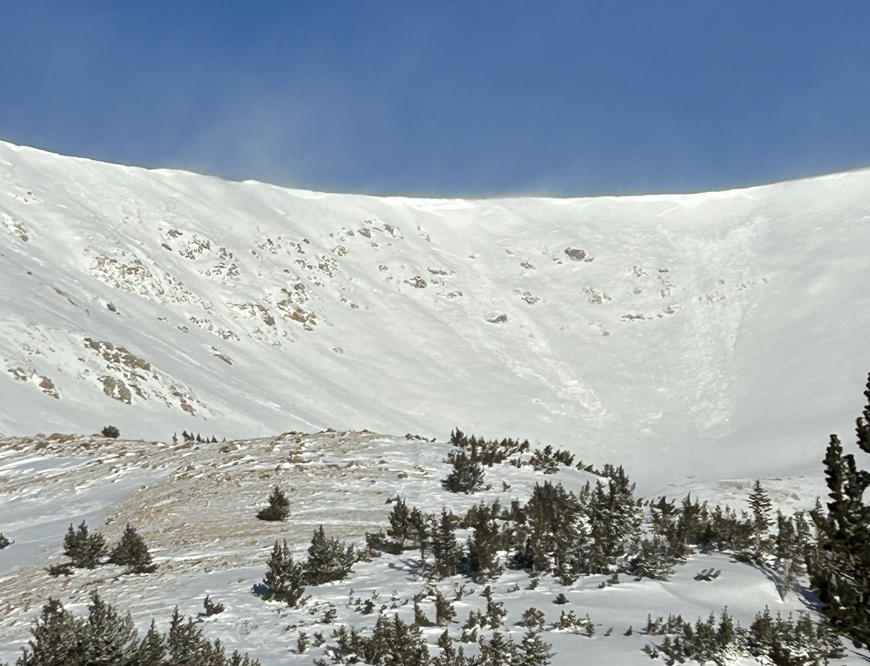
Avalanche activity remained minimal in the Northern Mountains this week, with only two avalanches reported since December 4. The most recent notable event occurred on December 3, when a skier triggered a large avalanche and sustained injuries. A few small storms with strong northwest wind drifted snow onto easterly slopes, burying a weak layer in the upper snowpack.

Central Mountains
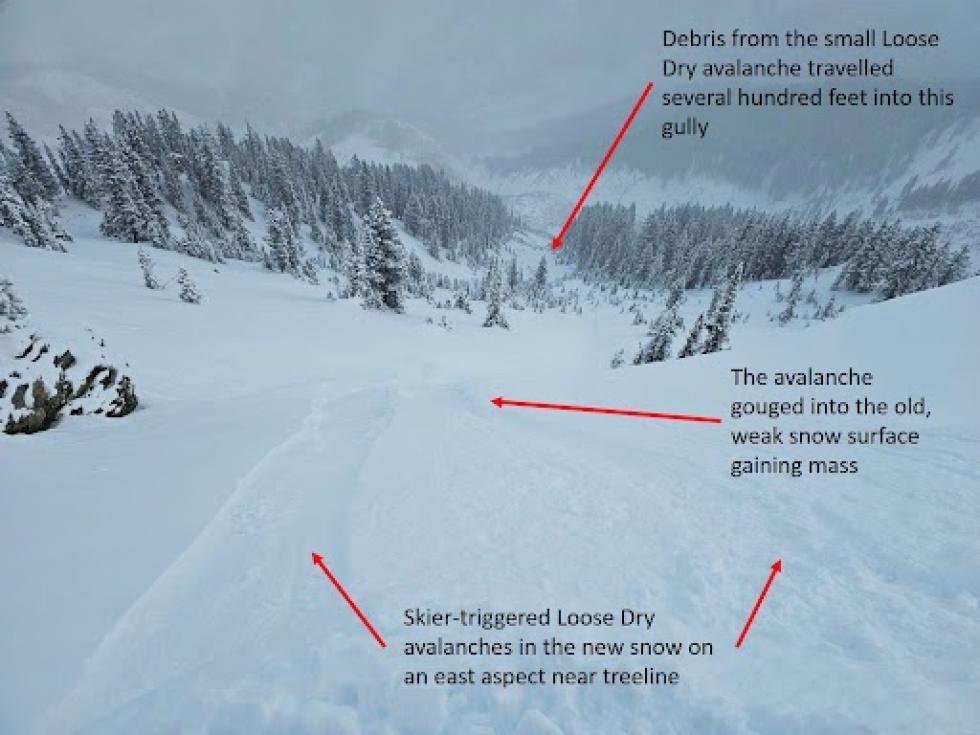
Following Monday’s storm and Tuesday’s northwesterly winds, observers reported both loose and slab avalanches breaking on a newly buried faceted weak layer in northerly and easterly-facing terrain. A skier was caught and knocked off their feet in a Loose Dry avalanche near Marble on Tuesday. Places that developed the weakest snow surfaces during the early December drought are the easiest places to trigger an avalanche now, including steep wind-sheltered terrain and the bed surfaces of avalanches that released in the Thanksgiving storm.
Southern Mountains
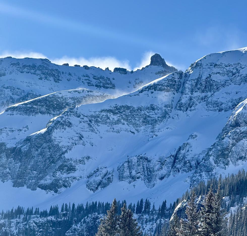
There were only three small human-triggered avalanches reported this week—all in the Northwest San Juan Mountains. These included two Loose Dry avalanches and one small Persistent Slab avalanche. Monday’s storm delivered 6 to 10 inches of snow, and strong winds drifted it onto northerly and easterly slopes above treeline. In areas with less wind, the new snow buried a faceted weak layer in the upper snowpack.
Heading Into the Weekend
Avalanche conditions have changed since last weekend, with wind-drifted snow and a newly buried weak layer putting Wind Slab avalanches and a new Persistent Slab avalanche problem back on the menu in areas around the state. In addition to the buried weak layer in the bottom half of the snowpack, there's a new weak layer in the upper snowpack, which means many "go to" slopes from last weekend could now be dangerous. Northerly and easterly slopes with hard, drifted slabs of snow will likely accumulate additional snowfall and develop thicker slabs as several small storms move through in the coming week.


