Avalanche Weekly Summary - March 20, 2025
Northern Mountains
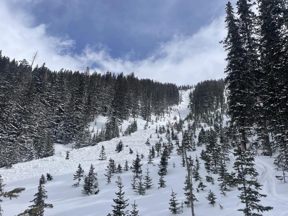
A storm from March 13–15 brought 6 to 12 inches of snow to the Northern Mountains with strong westerly winds, followed by another storm this week adding 4 to 8 inches and more strong winds. In the past week, 18 avalanches were reported, mostly small (only two were D2 or larger in size) and caused by westerly winds drifting snow onto north through east-facing slopes. A large snowmobile-triggered avalanche near Vail Pass was reported, but no one was caught.
Central Mountains
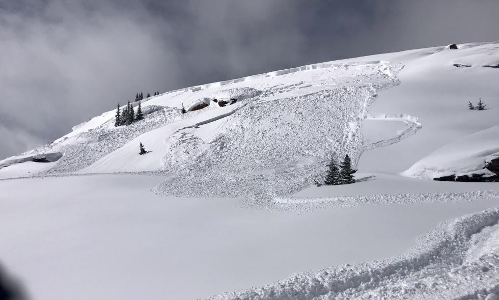
The March 13–15 storm dropped up to 42 inches in the West Elk Mountain. Snow totals tapered to just a few inches in the southern Sawatch Range. Another storm of March 18–19 favored the same areas, bringing up to 24 inches with lighter totals further east. Both storms included strong winds that drifted snow onto easterly-facing slopes. In the past week, 63 avalanches were reported, including two D2s, five D2.5s, and 19 D2s. Of these, 26 were human-triggered. Most avalanche activity occurred on paths that had already slid earlier this season.
Southern Mountains
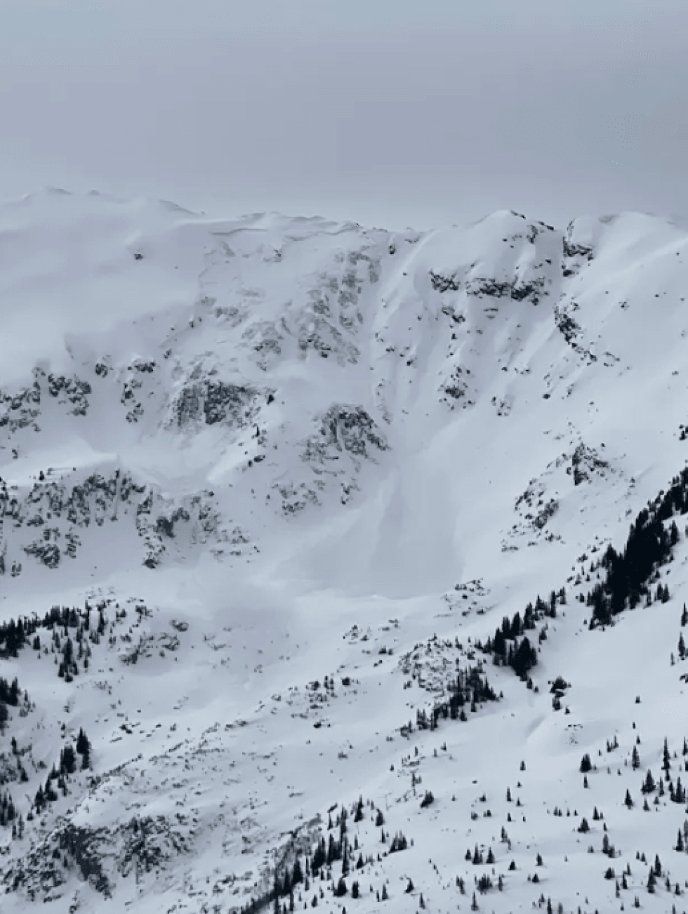
A strong southwest storm from March 13–16 brought 15 to 25 inches of snow to the southeast San Juan Mountains and 12 to 16 inches to the northwest San Juan Mountains. Another storm on March 18–19 added another 12 to 16 inches in the northwest but only 3 to 5 inches in the southern San Juan Mountains. The La Garita Mountains and Sangre de Cristo Range saw modest snowfall from both storms. Strong westerly winds have been active throughout the week. Fifteen avalanches were reported, including eight D2s. Two were human-triggered by the same group, with a catch-and-carry incident at Swamp Angel.
Heading Into the Weekend
Wind-drifted slopes remain the most dangerous with new snow and strong winds. Avoiding hard, wind-drifted snow will significantly reduce your avalanche risk, especially on easterly-facing slopes near ridgetops. While triggering a larger Persistent Slab avalanche is getting harder, it's still possible. An avalanche on a mid or upper-snowpack weak layer could step down and trigger a deeper slide to the ground, especially in areas with variable snow depth or on paths that have already slid this season.