Avalanche Weekly Summary - April 3, 2025
Northern Mountains
In the past week, the Northern Mountains picked up 1 to 2 feet of snow from a storm late Friday into Saturday, followed by additional unsettled weather starting Monday. Winds were mostly westerly and strong at times, contributing to wind-drifted snow. There was an uptick in avalanche activity this week, caused by wind-drifted snow and storm snow quickly warming and shedding. Nearly all reported avalanches were small in size. Two backcountry travelers were caught in separate small avalanches—one near Cameron Pass and another in the Tenmile Range.
Central Mountains
Spring storms returned to the Central Mountains last weekend, bringing 1 to 3 feet of new snow and ending the late March warm-up. The fresh snow rests on sturdy frozen crusts, with a thin, patchy layer of weak facets sandwiched in between. A total of 76 avalanches were reported this week, primarily in the Ruby, Raggeds, and Elk Ranges, where snowfall totals were highest. Most avalanches occurred on wind-drifted terrain features, though activity was observed on a wide range of aspects. One skier was caught in a small avalanche near Marble.
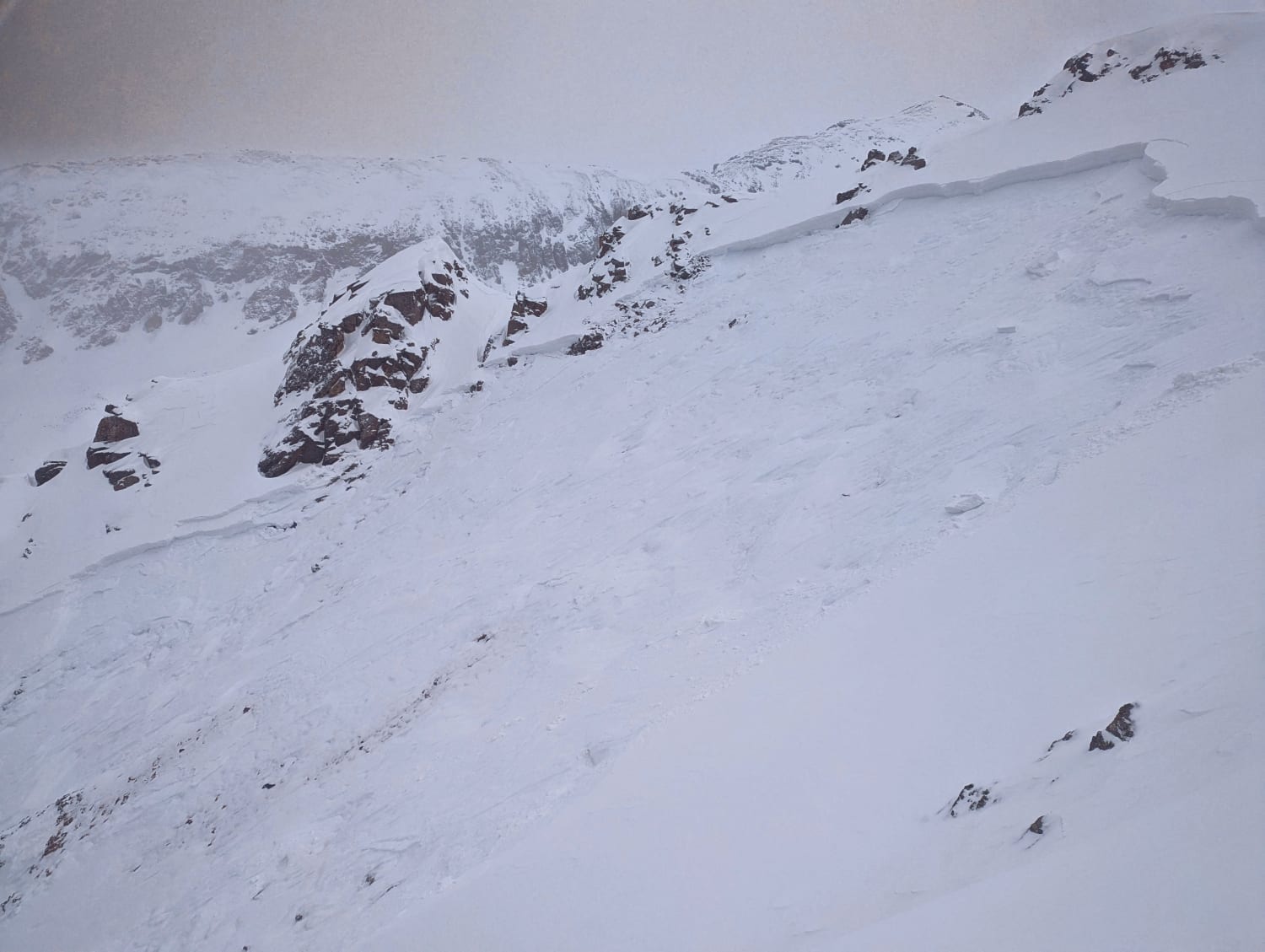
Southern Mountains
The Southern Mountains saw a shift from last week's warming and wet avalanche cycle to cooler, more unsettled weather this week. After the snowpack refroze early in the week, about a foot of new snow fell by Thursday, accompanied by strong westerly winds. On April 2, mitigation teams and a skier near Silverton triggered large to very large avalanches breaking into old snow layers. Several smaller slides also occurred at the interface between new and old snow.
Heading Into the Weekend
Heading into the weekend, avalanche danger will once again be driven by storm snow drifting into slabs—much like last weekend. But this time, easterly winds are in the mix, which means snow may pile up on slopes that don’t typically load, like westerly aspects. Sunshine and warmer temperatures later in the weekend could trigger a natural shed cycle on sunny, rocky slopes.

